Pre-First Day of Preschool Pics
Aidan attends his first day of preschool a little later today. Here’s some pics of his outfit. He looks so grown-up!


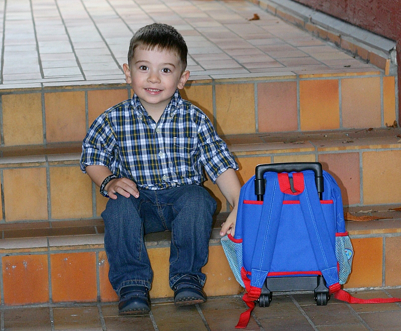


Pre-First Day of Preschool Pics
Aidan attends his first day of preschool a little later today. Here’s some pics of his outfit. He looks so grown-up!
 Today, Aidan, Gwen, Tomer, Carla, and I participated in the Tailspin GeoRally.
This was a geocaching event that featured 20 teams of cachers trying to find a series of caches placed especially for the event. The rally started in Confederation Park in North Burnaby. Cars left the staging area every five minutes from 8:45am onwards, and our start time was 9:25am (Team 9). At the start, you were given the guidelines for the event and the coordinates for the first cache. Caching teams alternated between starting at waypoint number 1 and waypoint number 6. Teams that were on the first track had green passports and teams on the second track had yellow passports. At each waypoint, teams found the coordinates to the next waypoint (perhaps after solving a puzzle) as well as a stamp for their passport. You had to collect all the stamps or incur a 45 minute penalty. Additionally we were given a baggie with hints for each waypoint, each stapled shut. If teams opened any hint, they incurred a 15 minute penalty for each hint opened. The goal was to cross the finish line with the shortest time. We weren’t given any details about the caches, but we were told that one of the caches was ‘manned’. We joked a little about that (a man cache? huh?) and it came out that the cache was actually ‘boy-ed’ since the children of one of the organizers would be running the waypoint.
Here’s a clip from CBC Vancouver about two local geocaching superstars, “Scruffster” and a group of the “WildWigglyBeanz” (who also run the excellent worldcaching.com site).
http://www.cbc.ca/mrl3/8752/bc/ondemand/video/bc-080903-geocaching-NIXON.wmv
Both Scruffter and Nina will be participating in Saturday’s Tailspin Georally.
Today, I took Sean (brother-in-law) “up into the mountains”. This is his first visit to BC, and wanted to see some of the BC mountains. The weather’s been pretty miserable for the week he’s been here, but the weather prognosticators indicated that they expected today to be better than the rest of the preceding (and following) days so I swapped my Labour Day holiday with today.
We got up late, had a largish breakfast and made it to Cypress Bowl by about 11:30 am. It was mostly sunny, with some puffy clouds haunting the mountain peaks. Gwen dropped us off in the parking lot with a promise to pick us up around 6 pm.
The Mt. Strachan (pronounced “Strawn”) hike is one I’ve done at least a half-dozen times and is one of my favourites. It starts in the Cypress Bowl parking lot and then you take the Howe Sound Crest Trail for about an hour towards The Lions. Eventually you come to a meadow on the west side of Mt. Strachan and a short trail to a ravine the goes up to a pass between the North and South peaks of the mountain. Climbing up the ravine (which is quite steep) is quite an endeavour.

It's steeper than it looks!

Snow still in the ravine
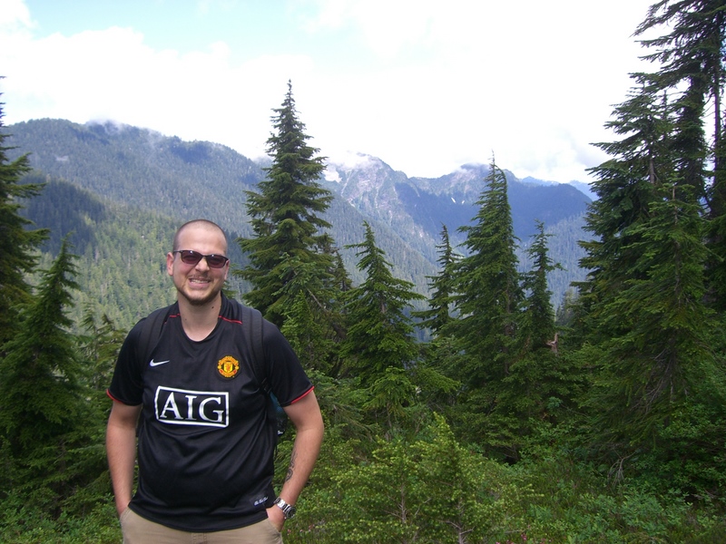
Lions look-off half way up
Once you achieve the pass, you climb up a similarly steep trail to gain the North Peak. The view from the top is quite amazing, with a 360° view. The clouds broke just as we summited, making for the typical outstanding view.
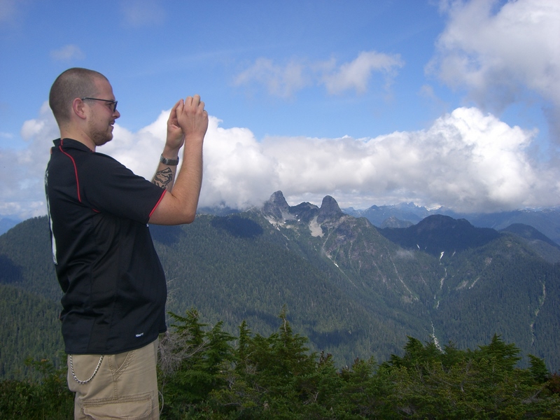
Sean at the top of Mt Strachan
After rehydrating and chowing down a bit, we climbed down the North Peak and ascended the South Peak. Along the way, we grabbed a geocache that hadn’t been found this year and had only been found once last year. The South Peak is the top of chair lifts for Cypress Mountain, and the hike down from the South Peak parallels the ski runs a bit, and about 2/3 of the way down, you are actually forced to walk along the access road/ski run.
We were within view of the parking lot by about 3:30 pm — clearly we made much better time than I expected — and gave Gwen a call. We made it down to the parking lot soon enough and then beat it over to the nearby Yew Lake to pick up another geocache before meeting Gwen and Aidan in the parking lot. And the rain held off until we were waiting to be picked up!
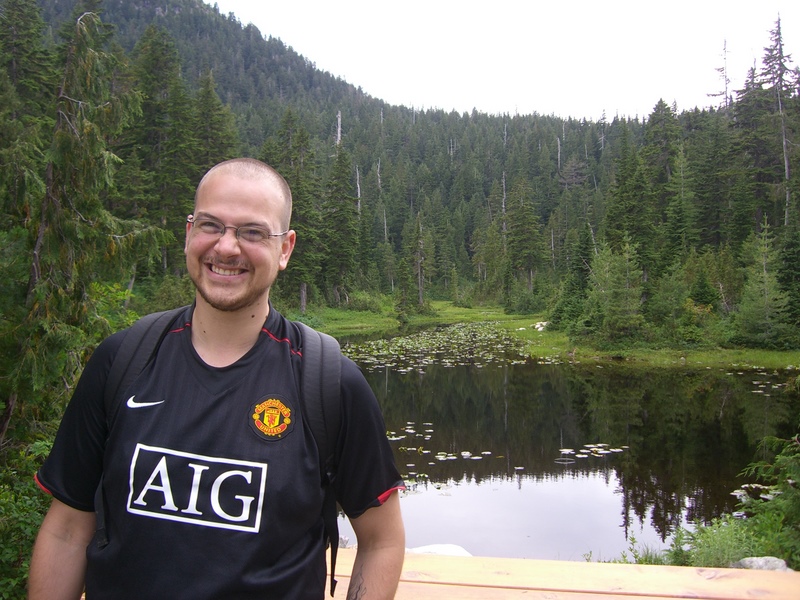
Yew Lake
All in all, 8.8 km hiking, 730 m total elevation gain, about 4.5 hours total time including breaks.
The GPS track is shown below, along with a Google Earth plot of the hike.
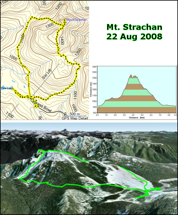
Mt. Strachan hike
